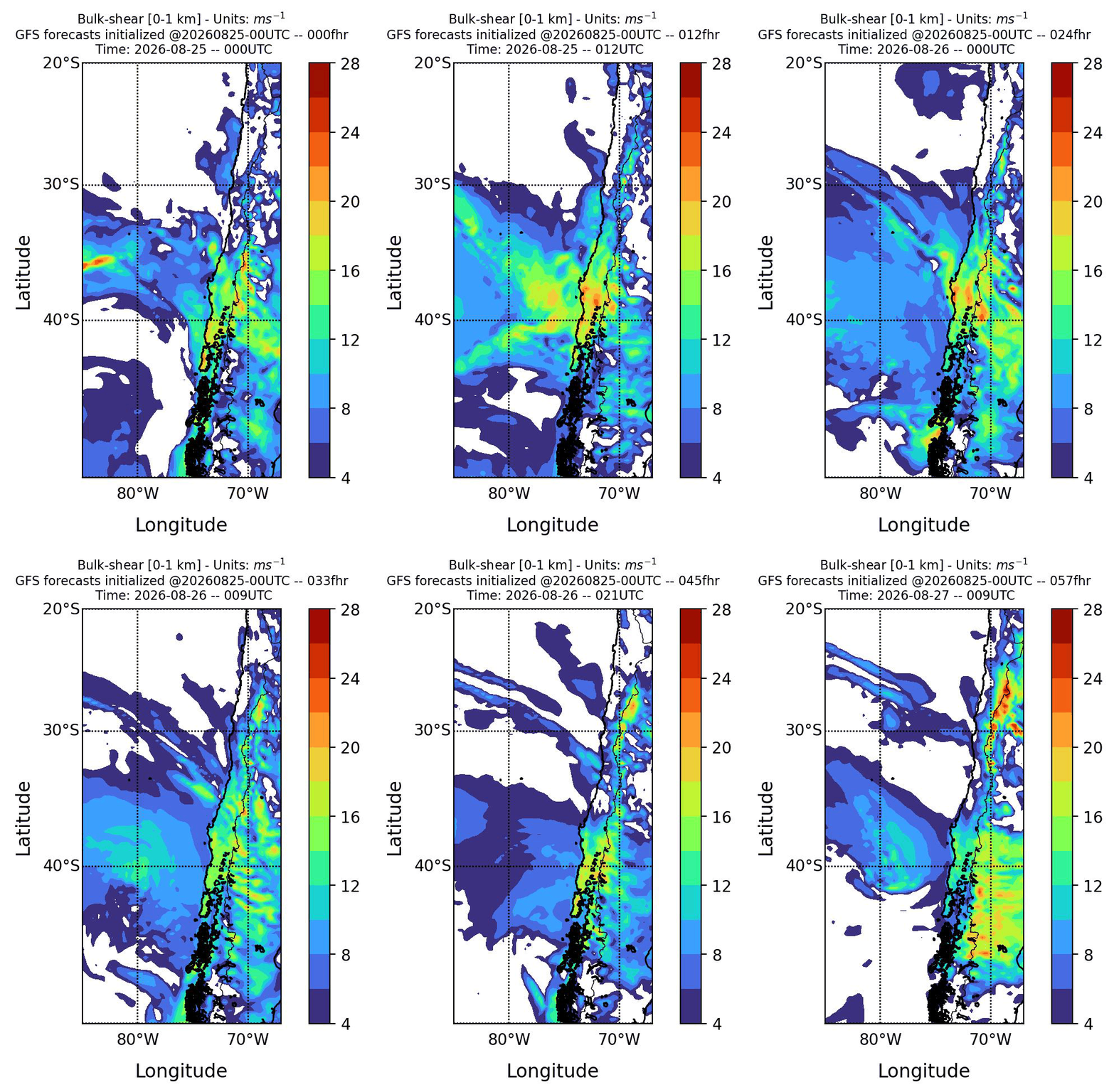
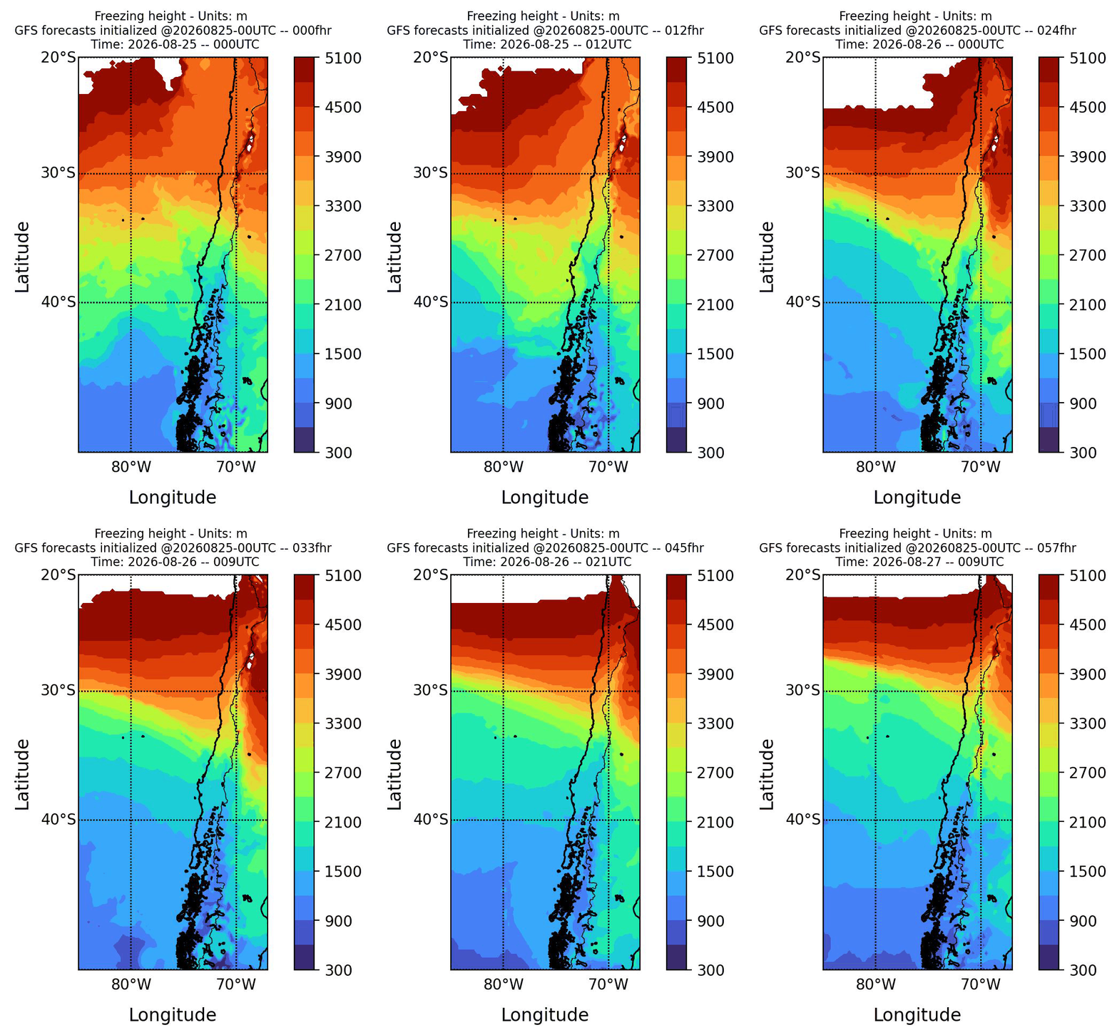
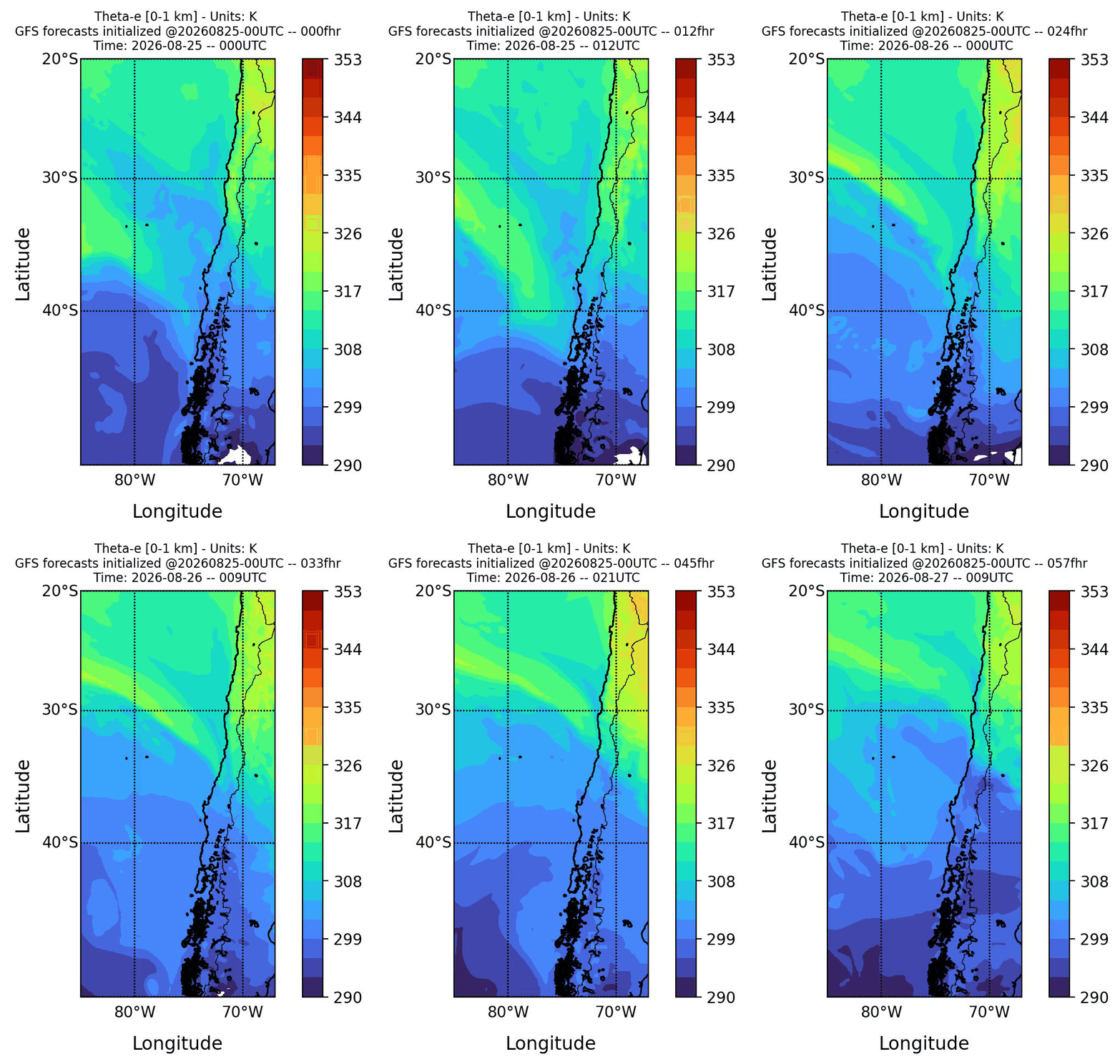
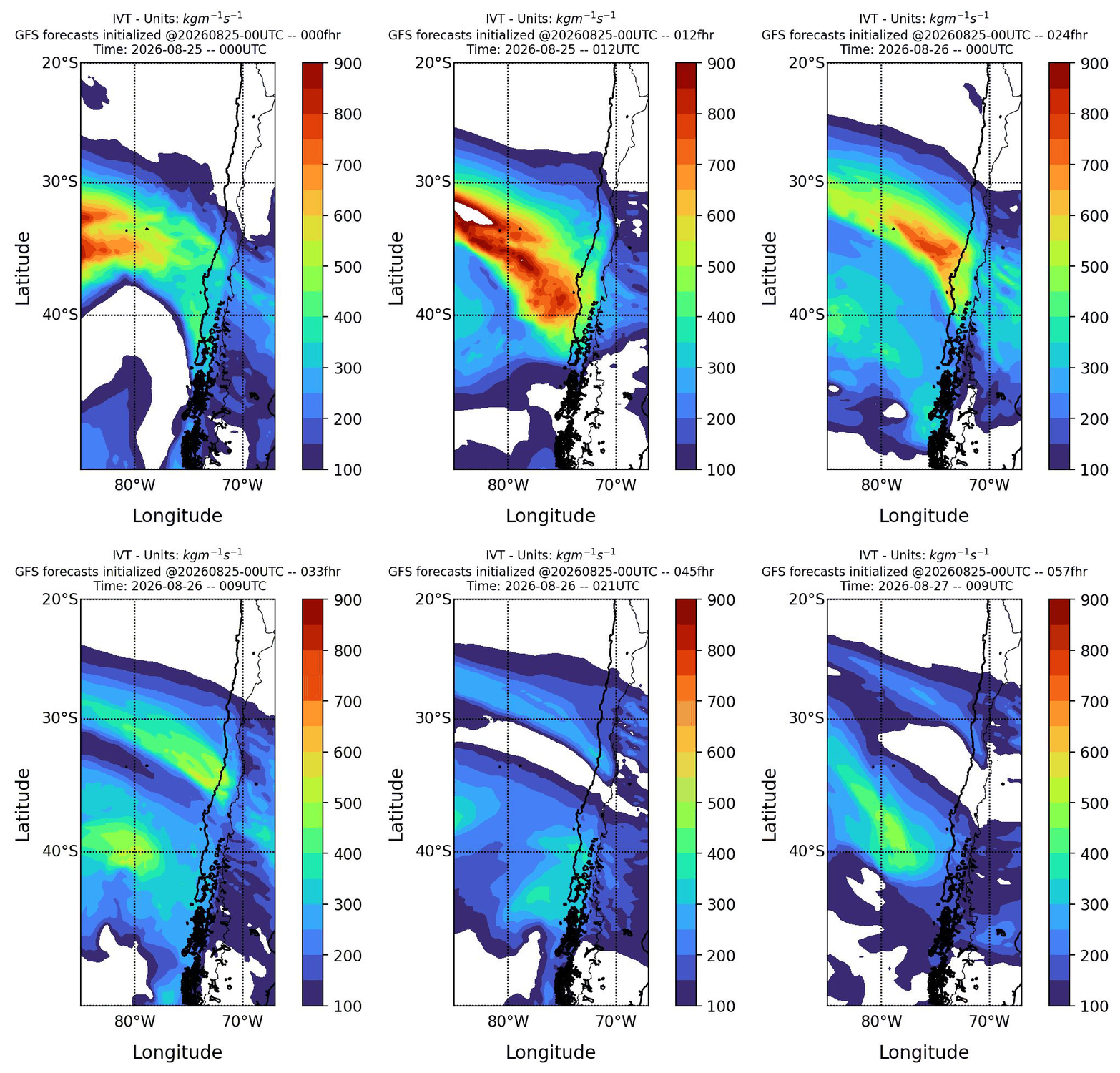
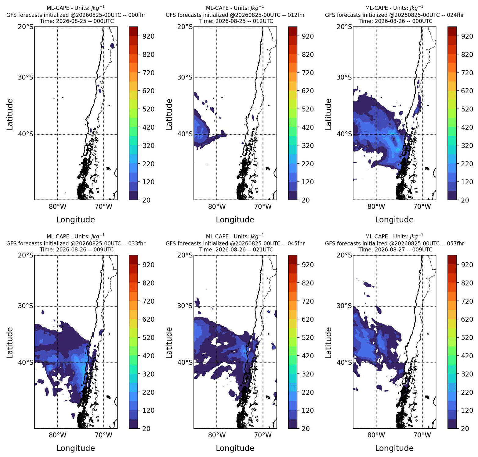
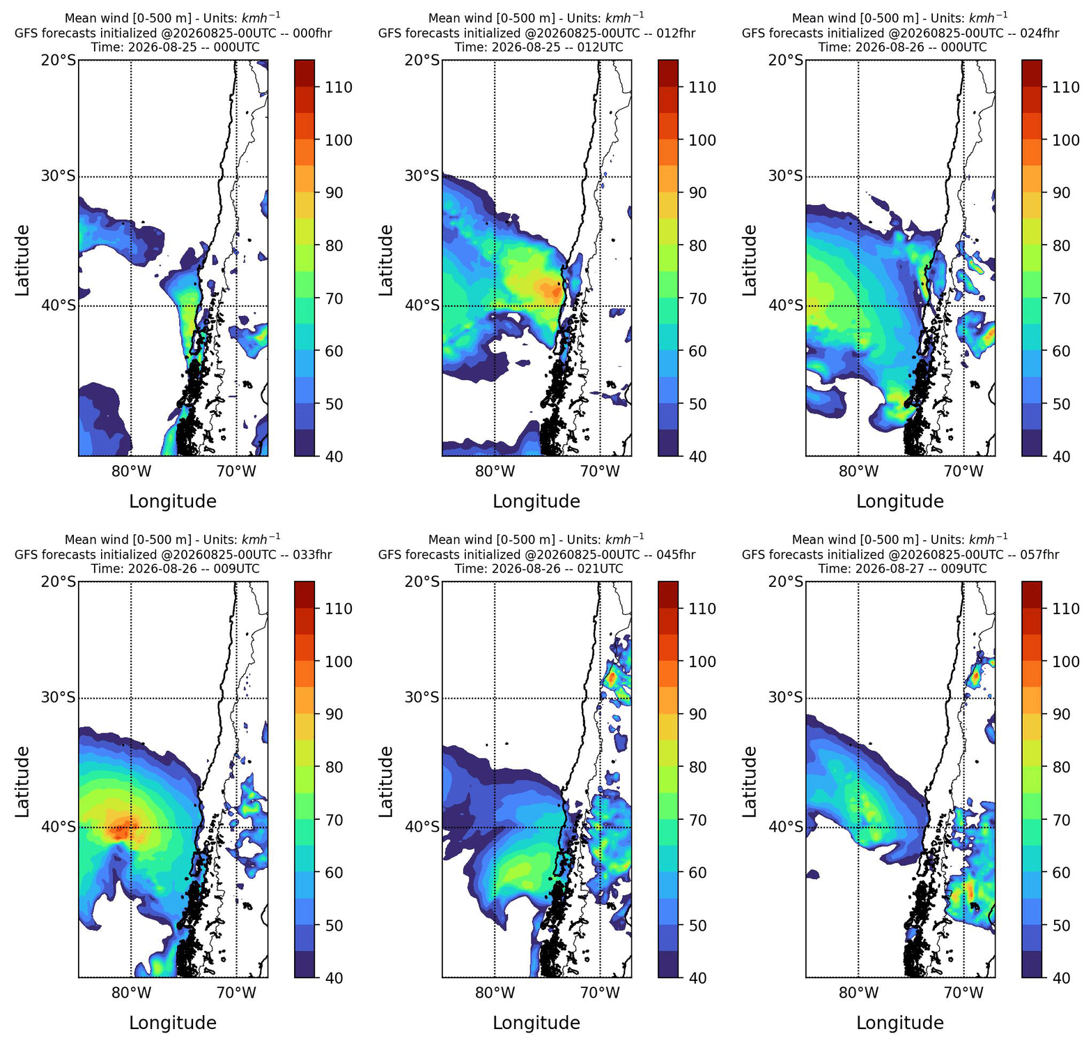
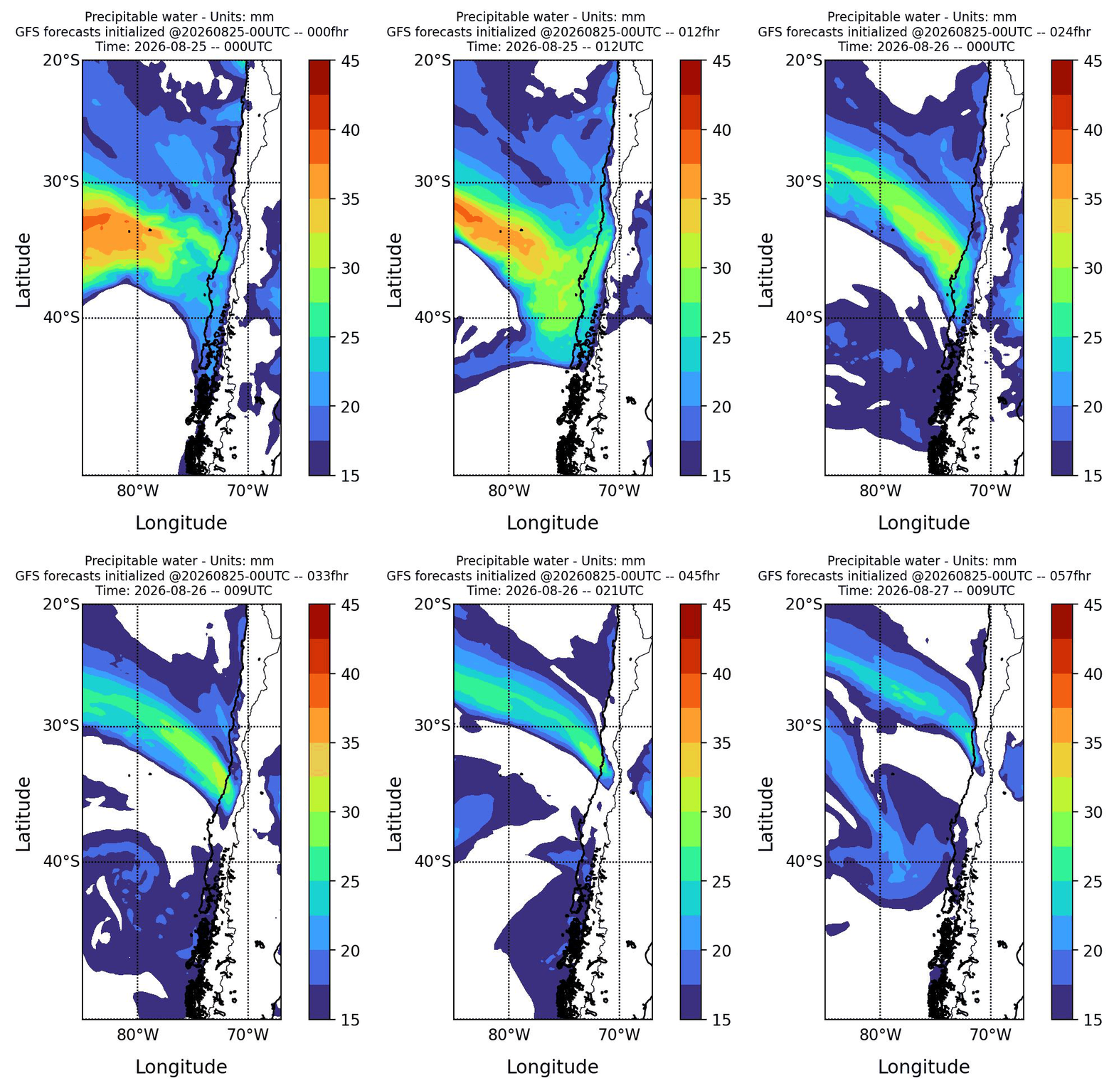
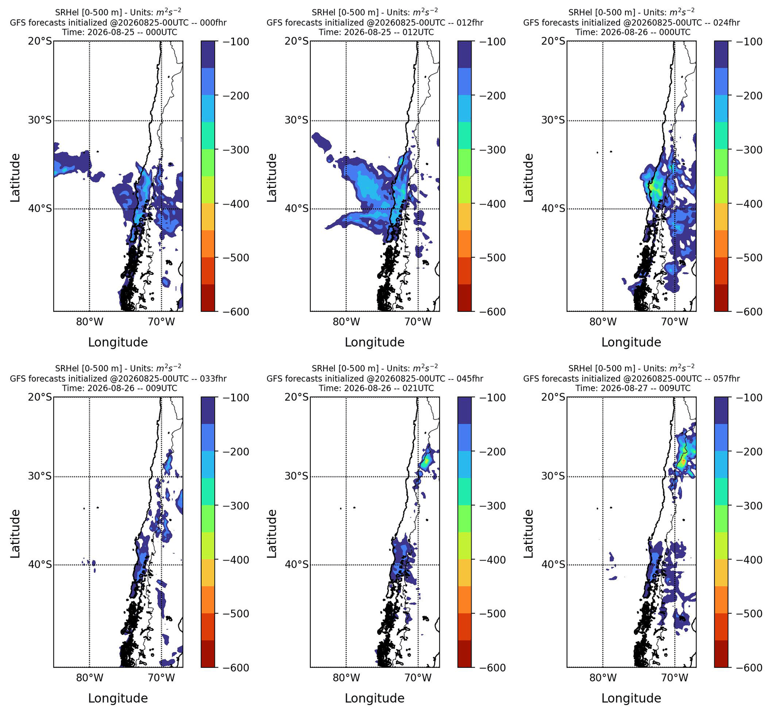
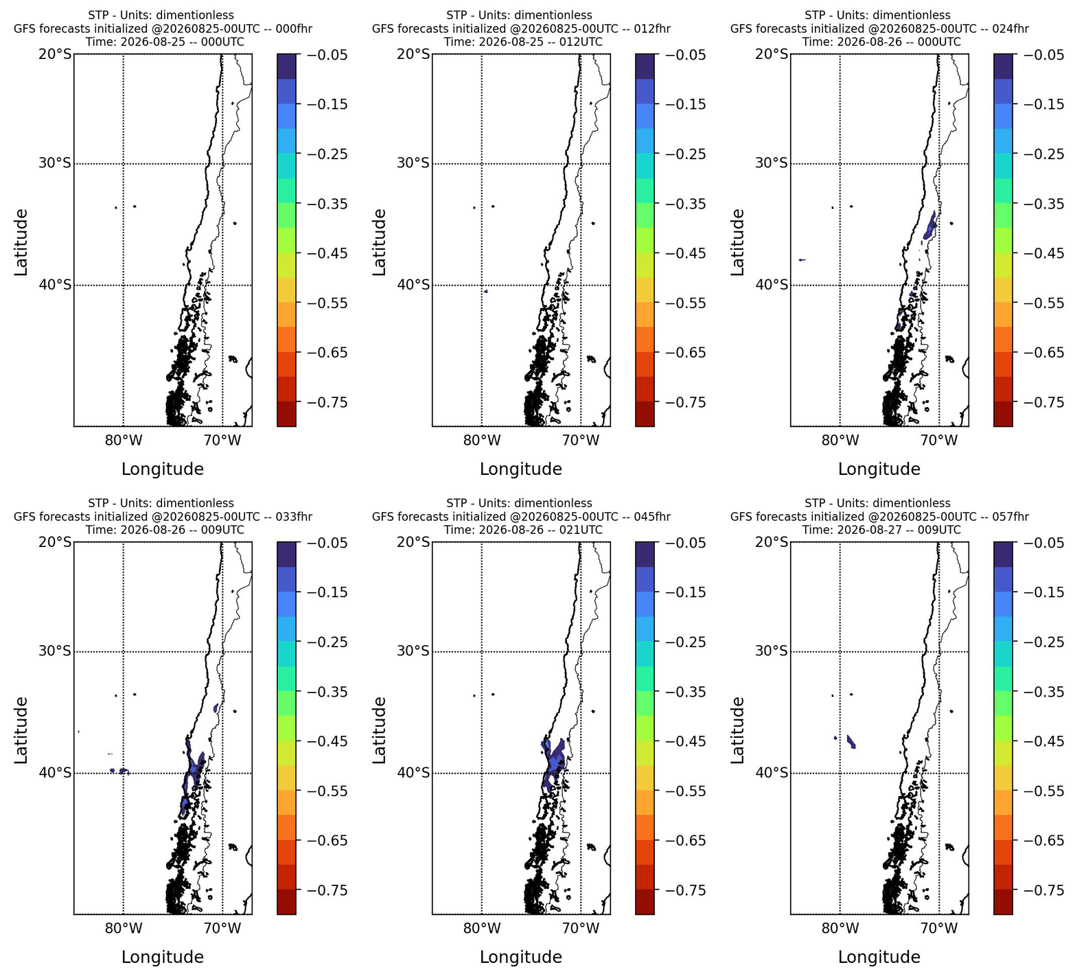
This page shows the forecast of convective parameters, mainly for the central-southern part of Chile, calculated from outputs of the Global Forecast System (GFS) model with a horizontal resolution of 0.25º degrees. These forecasts can be used as a tool to help monitor the establishment of favorable conditions for the occurrence of severe storms or tornadoes/waterspouts in Chile. On this page, users can find maps with the horizontal distribution of some convective parameters, skew-T diagrams for a group of cities in central-southern Chile, as well as time series of some convective parameters for these cities. The products on this page are updated once a day. The page is available in both Spanish and English, allowing the user to access the information on this site in any of these languages. It is important to note that the products on this page should not be taken as an official forecast, but only as a guide for monitoring favorable conditions for the occurrence of severe storms.